


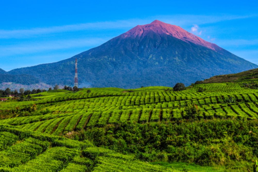
Mount Kerinci is the highest volcano in western Indonesia. <Mount Kerinci, which has an altitude of 3,805 meters above sea level (masl), is located on the border of Jambi Province and West Sumatra.
The stunning natural beauty, rich biodiversity, and promising climbing challenges make this mountain a dream destination for climbers, researchers, and nature lovers.
Geographical Majesty and Volcanic Uniqueness
Geographically, the mountain is part of the Pacific Ring of Fire, making it an active stratovolcanic volcano with a smoky crater that is always an attraction.
The mountain has a large crater with a diameter of about 400 x 120 meters. The crater often emits sulfur fumes as a reminder of its volcanic activity.
The nickname "The Roof of Sumatra" is due to Kerinci's towering position among other mountain ranges. This condition also makes it look more majestic from a distance.
Rich Biodiversity in the Mount Kerinci Area
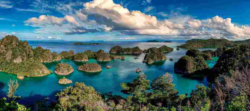
Mount Kerinci does not stand alone, but is at the heart of the Kerinci Seblat National Park (TNKS), which has been recorded by UNESCO as a World Heritage Site.
The TNKS area is home to biodiversity, including endemic and rare species of flora and fauna. Examples include the flowers Rafflesia arnoldii and Amorphophallus titanum, as well as a dazzling variety of forest orchids.
What animals are there in Mount Kerinci? The TNKS is an essential habitat for endangered large mammals such as the Sumatran Tiger, Tapir, Sun Bear, and Sumatran Elephant.
The dense and beautiful tropical rainforest ecosystem is the perfect backdrop for an adventure in Kerinci, as well as a reminder of the importance of nature conservation.
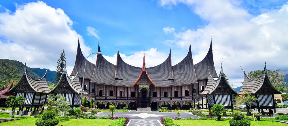
Getting to the Nearest City to Mount Kerinci
The nearest city to Mount Kerinci is Sungai Penuh. However, since the city does not have a large airport, you will have to transit through other cities first. There are two most common routes:
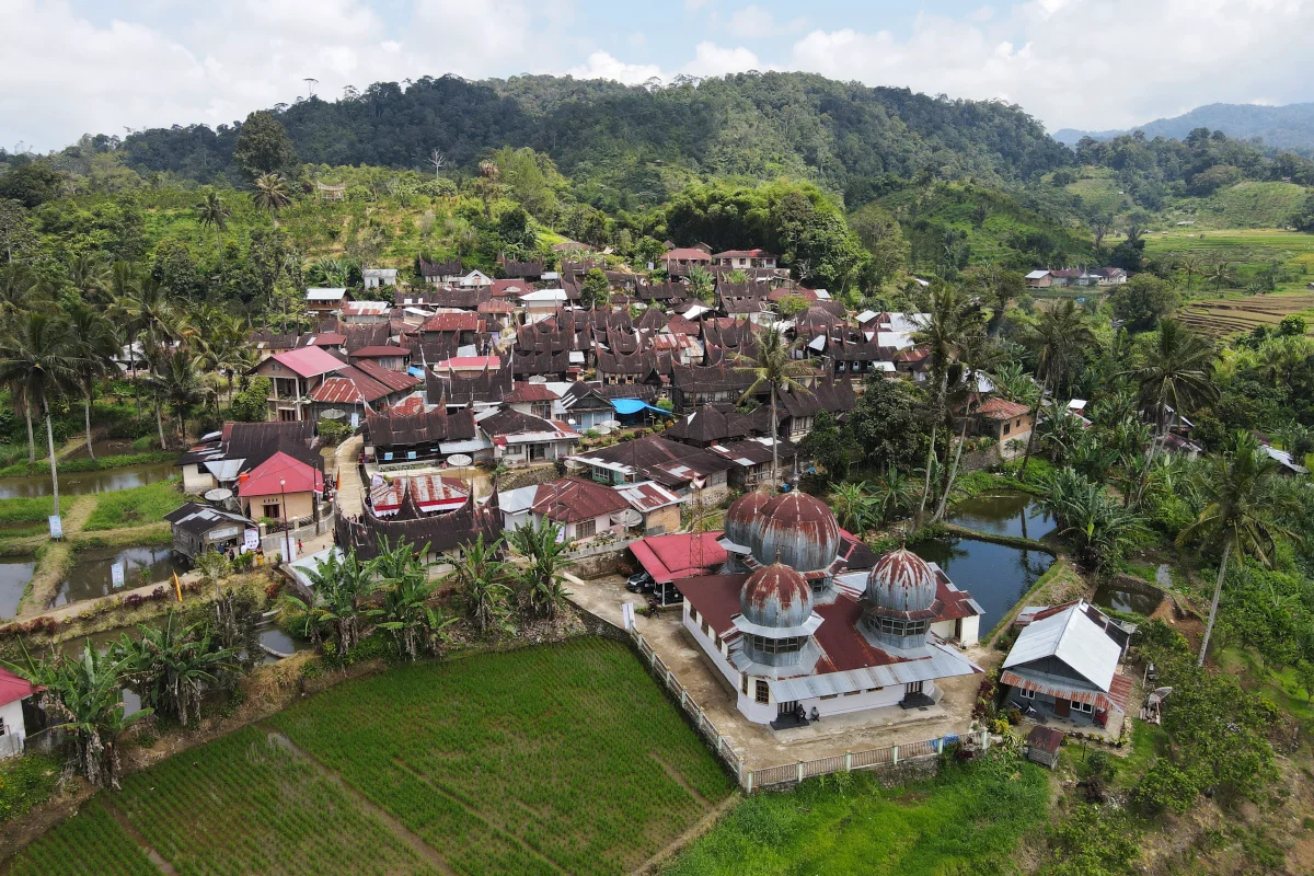
Via Padang (West Sumatra)
- Take a plane to Minangkabau International Airport (Padang).
- From Padang, continue by road to Kersik Tuo via Solok and Muara Labuh (about an 8 to 9-hour drive).
- This is the most popular and fastest route for hikers.
Via Jambi
- Take a plane to Sultan Thaha Airport (Jambi).
- Continue by road to Sungai Penuh, then to Kersik Tuo (about 12 to 14 hours).
- This route is rarely chosen as it is further away and the terrain is more demanding.
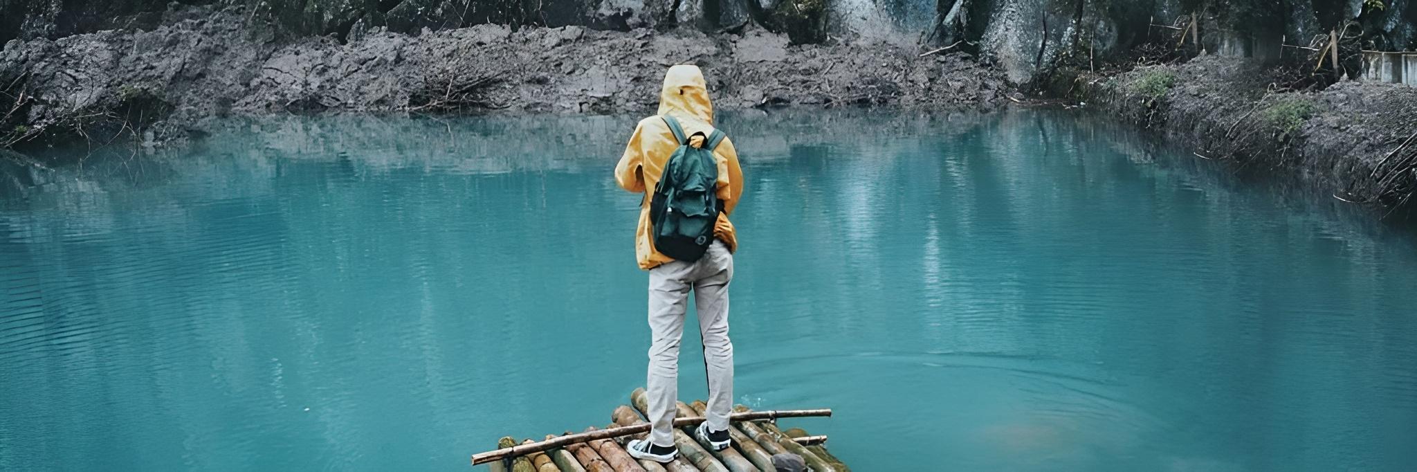
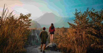
The Hiking Trail and the Challenges that await
The ascent of Mount Kerinci generally starts from Post R10, nicknamed Pintu Rimba, precisely in Kersik Tuo Village, Kayu Aro, Jambi. This hiking trail is known to be challenging but very rewarding.
How long does it take to climb Mount Kerinci? The journey to the top of the mountain usually takes about 2-3 days of round-trip hiking, depending on the speed and physical condition of the hikers.
Some of the challenges that hikers need to face are very long trails, significant elevation gain, and sudden changes in weather. Climbers also need standard equipment and understand climbing ethics.
Mount Kerinci Hiking Route Via Kersik Tuo
The Kersik Tuo route is the most popular and most frequently used route by hikers. The infrastructure is more adequate, and local guides/porters are available.
The total round-trip hiking time usually takes 2-3 days, depending on the hiker's pace, physical condition, and weather.
- Starting Point (Basecamp): Starting from Post R10 (Pintu Rimba) in Kersik Tuo Village, Kayu Aro, Jambi. Registration required.
- Day 1 - Primary Forest Stage: A hike through dense tropical forest from Pintu Rimba, passing Post 1 (Batu Lumut), Post 2 (Pondok Tengah), and Post 3 (Batu Gadang). The trail is dominated by climbs and tree roots.
- Day 1 - Towards the Camp Point: Continued uphill hike to Shelter 1, then Shelter 2 (Tiger Post).
- Main Camp Point: Camp at Shelter 3 (Beautiful Peak), a favorite location due to the beautiful view and being the last point before the summit attack. Water is limited, be efficient.
- Summit Attack (Day 2 Early Morning): The climb to the summit starts around 02:00-03:00 am from Shelter 3.
- Summit Challenge: The path to the summit is very steep, dominated by loose rocks (scree) and slippery volcanic sand, draining the energy.
- Puncak Kerinci (Tugu Yudha): Reach an altitude of 3,805 meters above sea level. Enjoy views of the active crater and a spectacular 360-degree panorama.
- Descend to Shelter 3: Return from the summit to Shelter 3 for breakfast and unpack the tent.
- Trek Down (Shelter3 to Jungle Gate): Continue the long, knee-draining descent, along the same path as the ascent, back to Post R10.
Essential Preparation: Always use a guide/porter, prepare physically and mentally, bring complete equipment, practice strict water management, and apply the principle of "Leave No Trace" (leave no trash).